Or: I climbed Seoraksan in a typhoon so you don’t have to.
Last weekend, Typhoon Nakri rolled through Korea, leaving me resolute in my plans to conquer the mother monster of the country, Seoraksan:

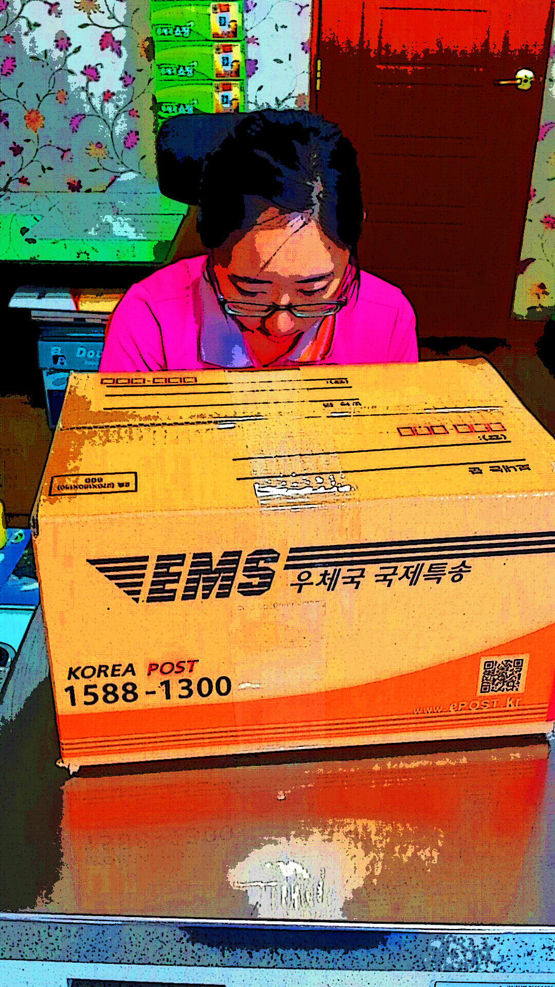
But wait, you say! That is not a typhoon, you say. Indeed. That’s the base of Seoraksan at the end of this wonderful story. I just wanted to get started on a nice note for you, dear reader.

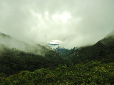
At any rate, early on Monday I woke, stuffed a frozen pizza and some other necessities into my pack, and headed off for my buses to Seoraksan. With a late arrival of 12:30, I rushed through the park, hoping to make it to the top of the mountain and back to my shelter by 7:00.


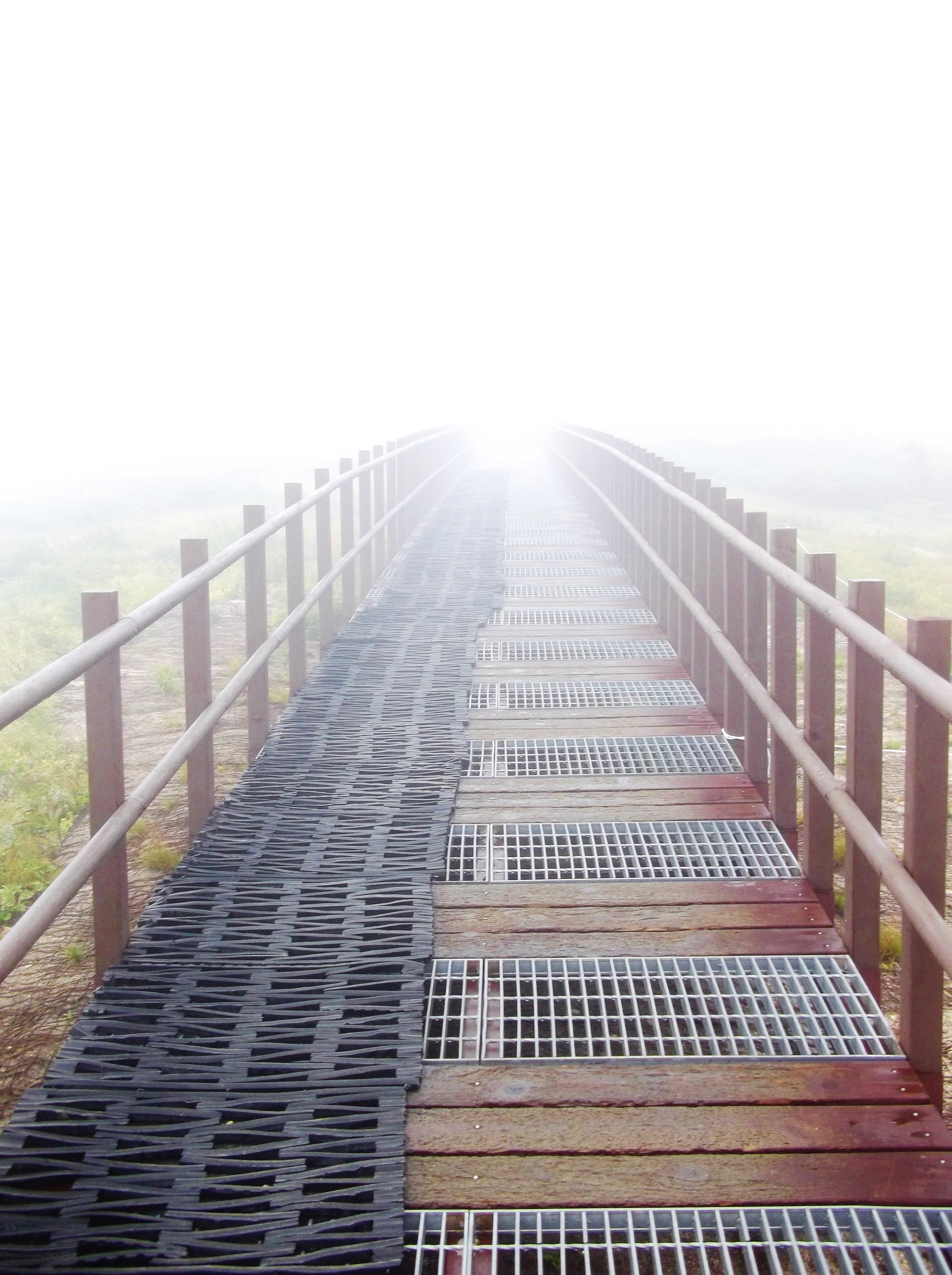
My mood was soaring, and I breezed through the first few kilometers. I sang. I took pictures. I ran up giant staircases. I came across Korean hikers taking selkas and asked if they wanted me to take their picture. The first couple were plainly terrified of me, but the second couple was thrilled, and the last guy coerced me into taking a selka with him~ I’m a celebrity here, doncha know.

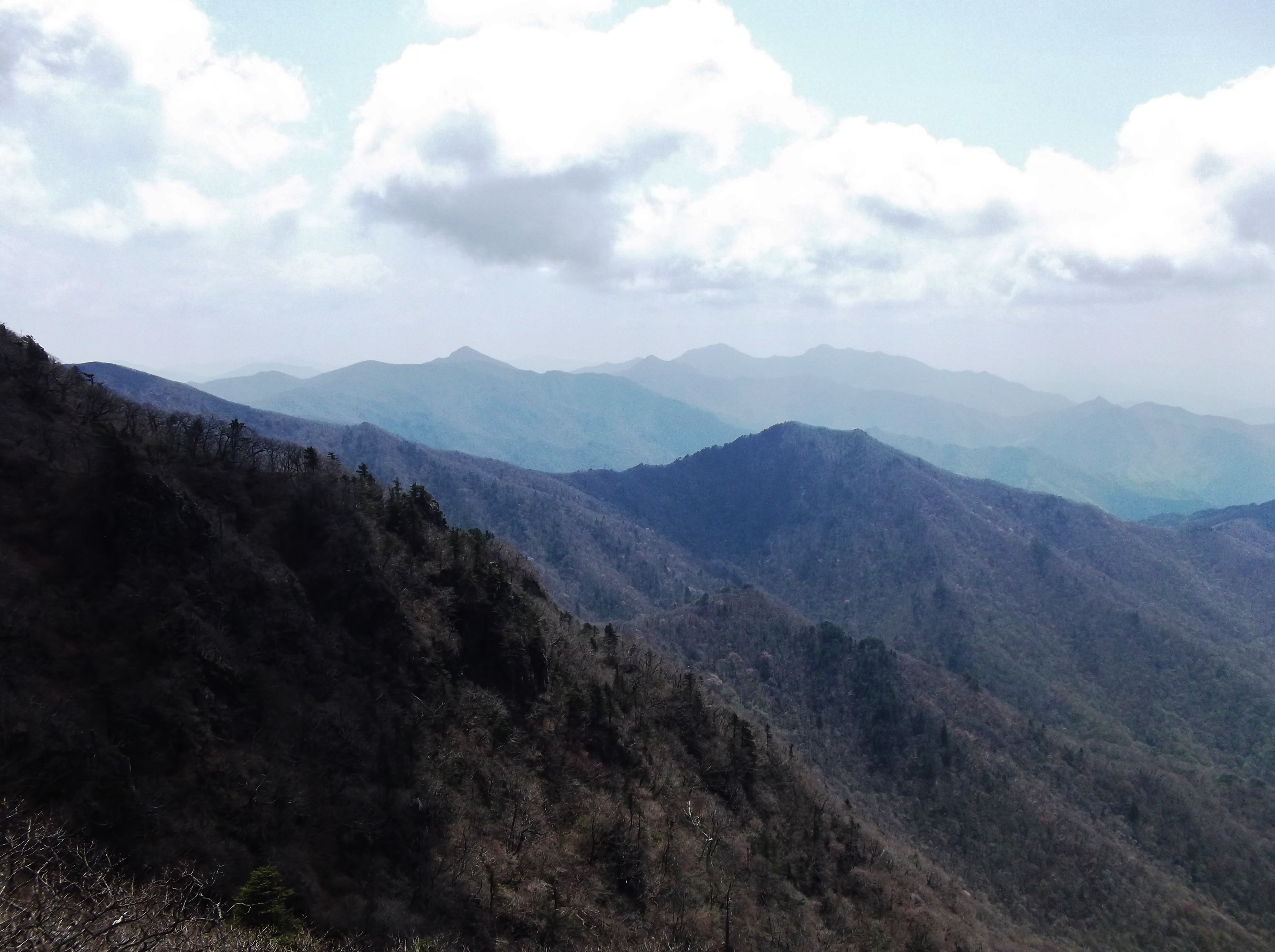
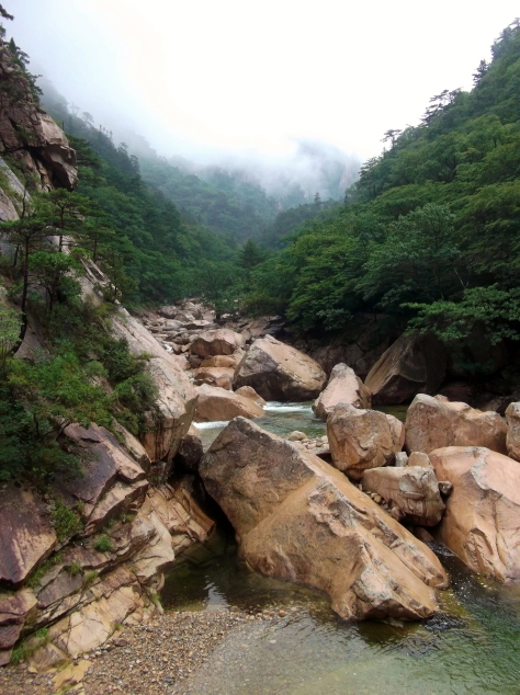
For those of you from my home state, you’ll understand when I say that the classic valley hike in Seoraksan is comparable to hiking Mount Marcy. Ten kilometers to the top, perhaps 300 feet higher than Mount Marcy (though with a base considerably closer to sea level, with the sea being only a few miles away). Imagine climbing anywhere in the eastern US above 5,000 feet, and you’ve got a good picture.

Of course, this wouldn’t be the Korean mountains if there weren’t some crazy climbers trying to get up some godforsaken slab routes in the middle of a typhoon drizzle:

Missed them? Let’s zoom in:
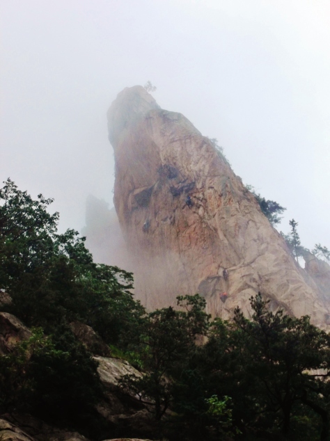
Good for you, crazy climbers of Korea. Good for you.

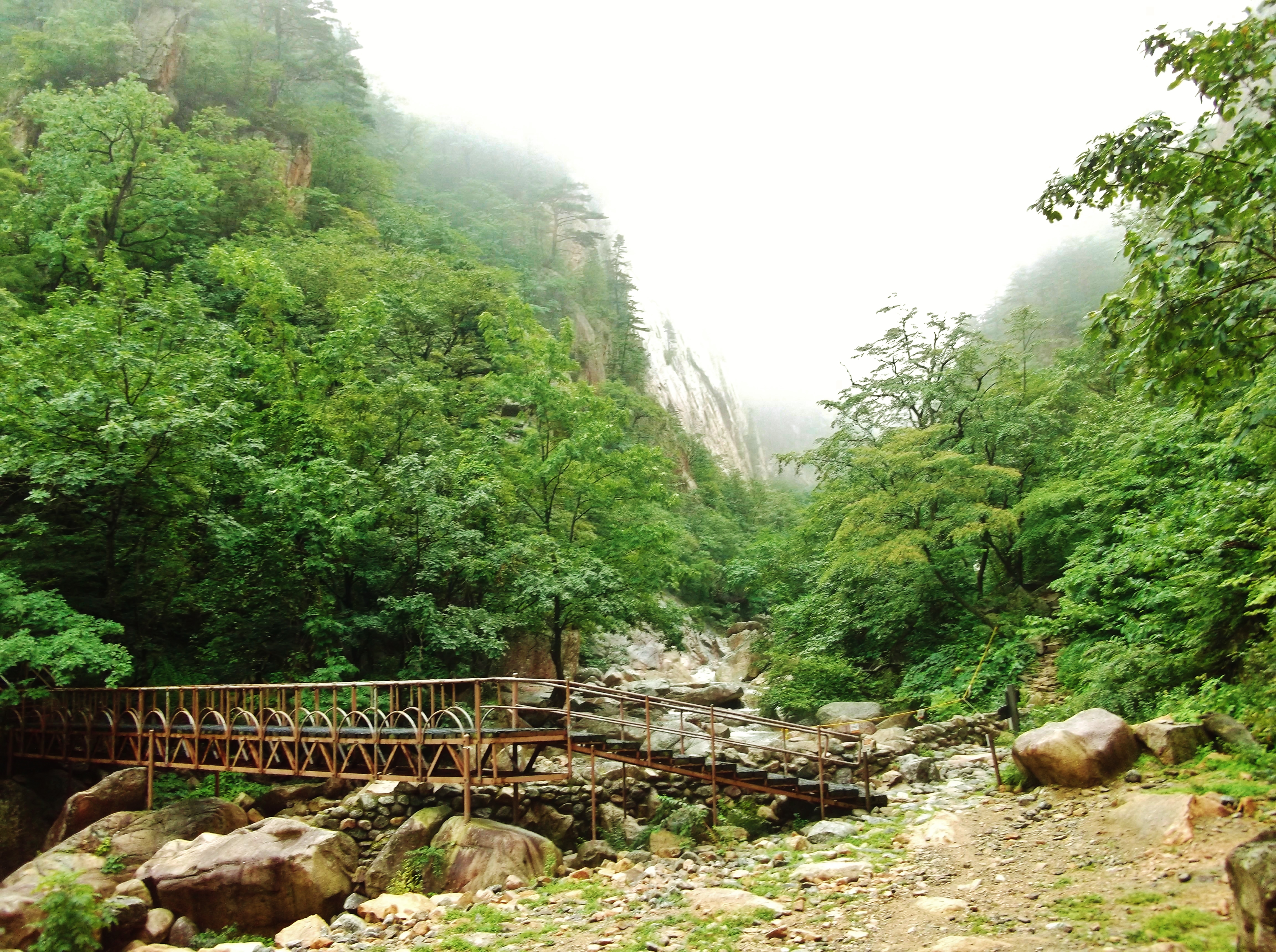
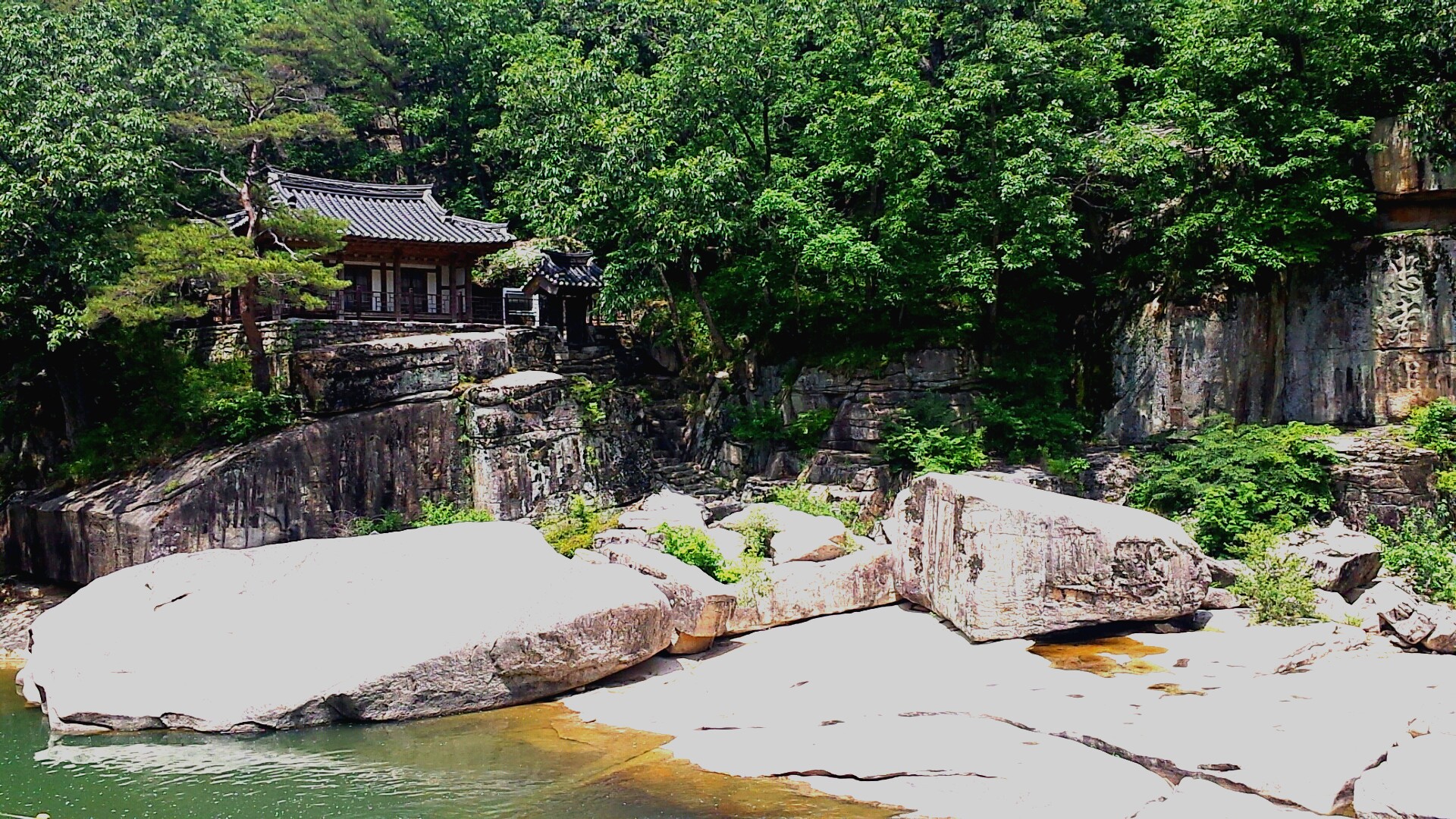
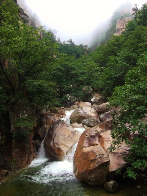
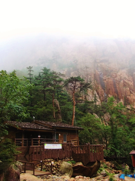
 Two hours in brought me to my lunch stopover, the Yangpok Shelter, where I would be staying the night:

I was the first of the dozen-or-so guests to arrive, so to secure the best bunk I offered some of my thawed pizza to the guy who checked me in… except that by that time, he had a work partner as well… and then an older couple showed up to check in… and I gave them all a slice. Half of my brain was screaming, “NO! Not the pizza! What are you doing you fool you are giving the pizza away!!!” And even the other half of my brain was annoyed when the old lady said to me, “Wow, you sure don’t have many slices left, do you?”

Having brought food to share (as one does in Korea), I resolved to keep any future sharing to the Oreos and carrots. With my bunk laid out, I set out hoping to conquer the top peak within the next two hours.
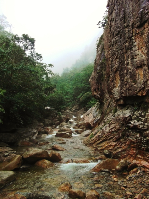
Seoraksan is, deservedly, a popular destination for Koreans and foreigners alike, so there was no shortage of internet musings for me to peruse while deciding which hiking course to take. At one site, a foreigner had made a useful map of the hike I had decided upon; one section, nearly a mile long, was simply labeled, “Hell.”
It was at the bottom of this section that the rain really picked up in earnest, having been a constant, light rain all day.
And, of course, as soon as I reached the top of the all-too-accurately named Hell section, the rain returned to its light drizzly glory. Glory, that is, because summer hiking in Korea is infinitely better in a cool rain than in the absurd, oppressive heat of the sun.

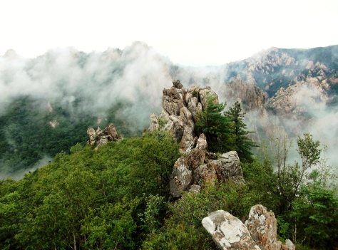
Proof that I did, in fact, make it:

At this point, I was starting to feel it: ten steep kilometers in four hours of hiking, with two more hours before I’d lose my shelter reservation. I “booked” it down the mountain, if booking it in the rain on a steep trail means approximately the pace of your halmoni’s halmoni.
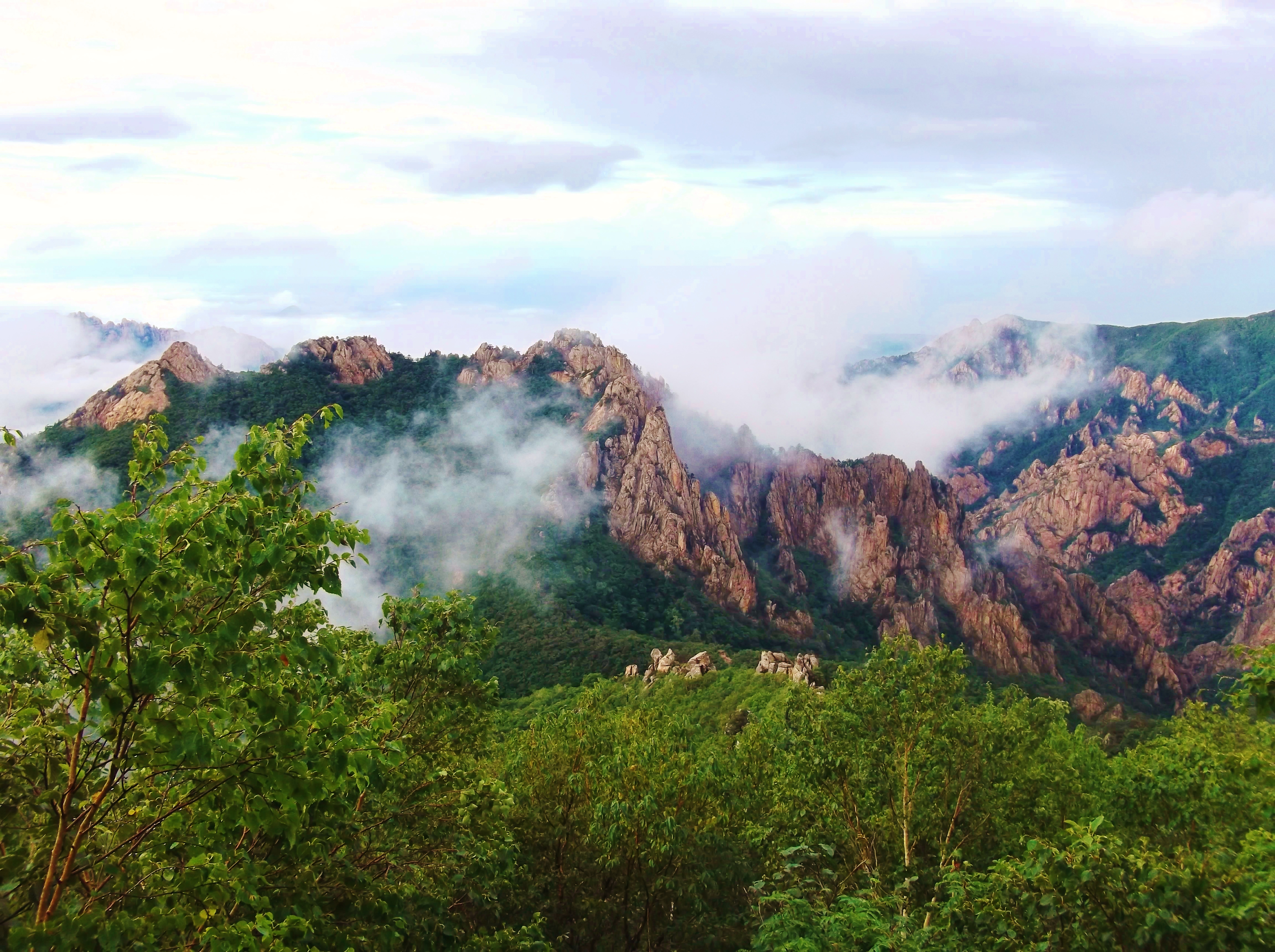
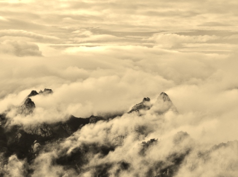
Then, suddenly, the typhoon’s tail rain lifted completely as Nakri headed off over the ocean.
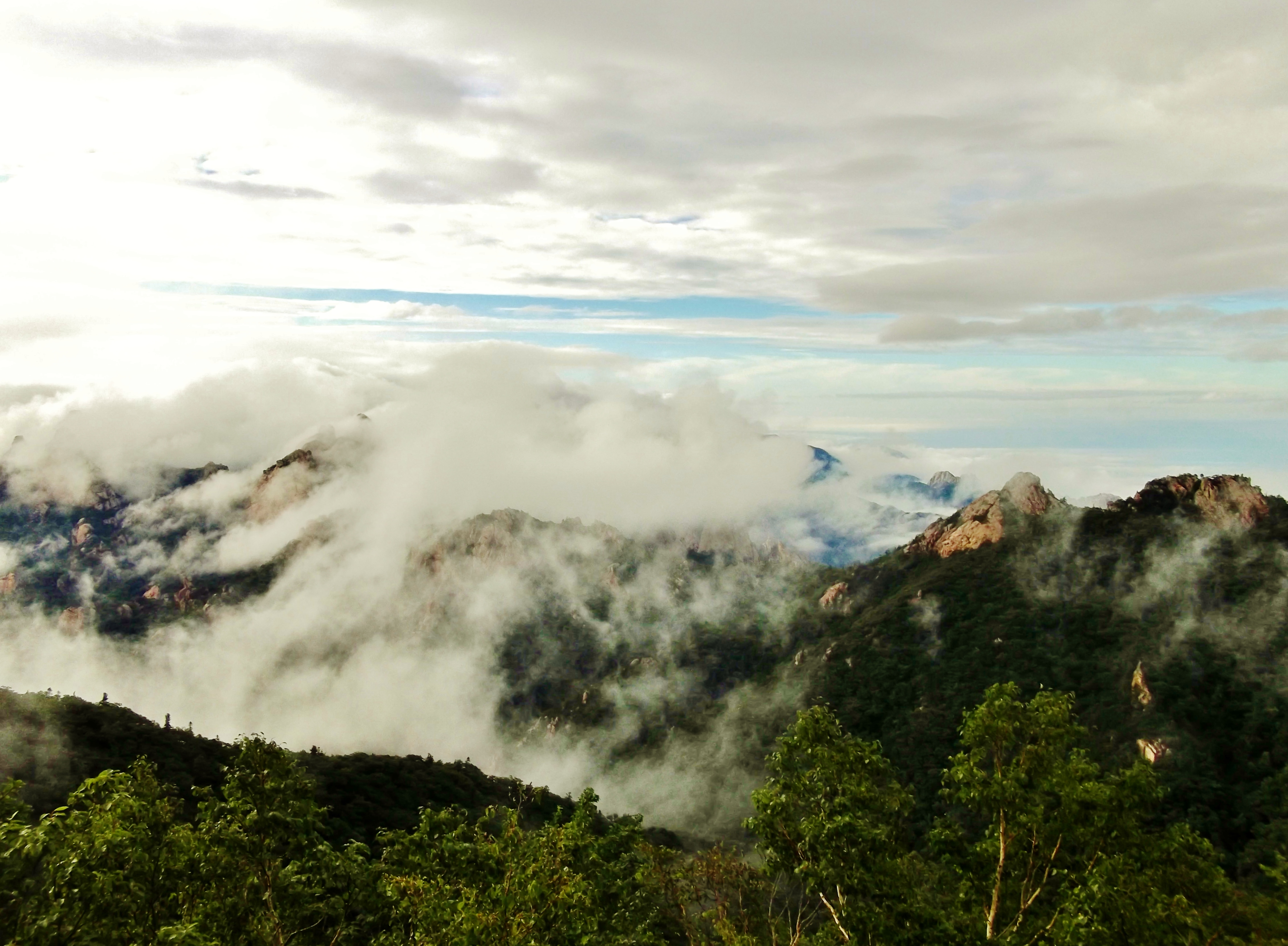
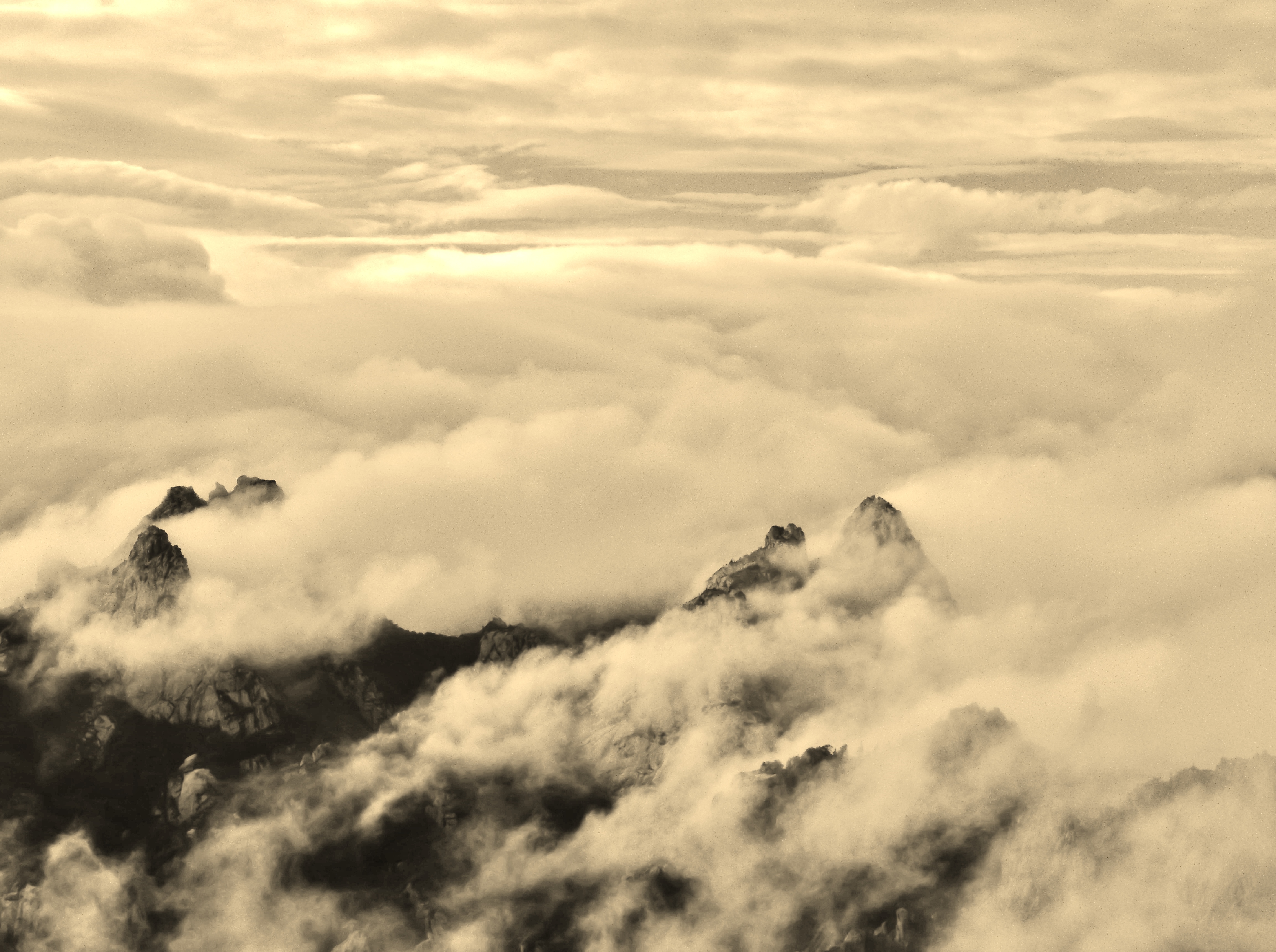
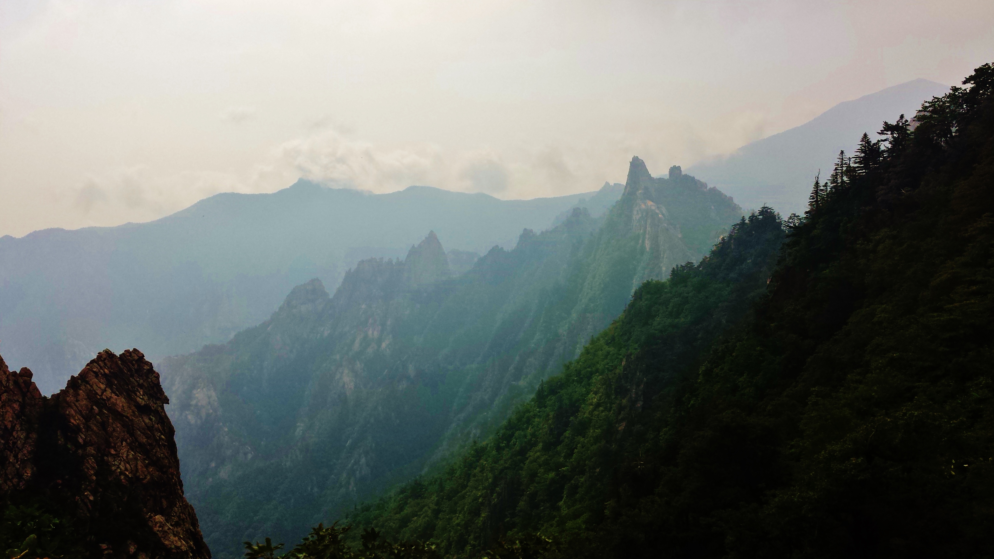
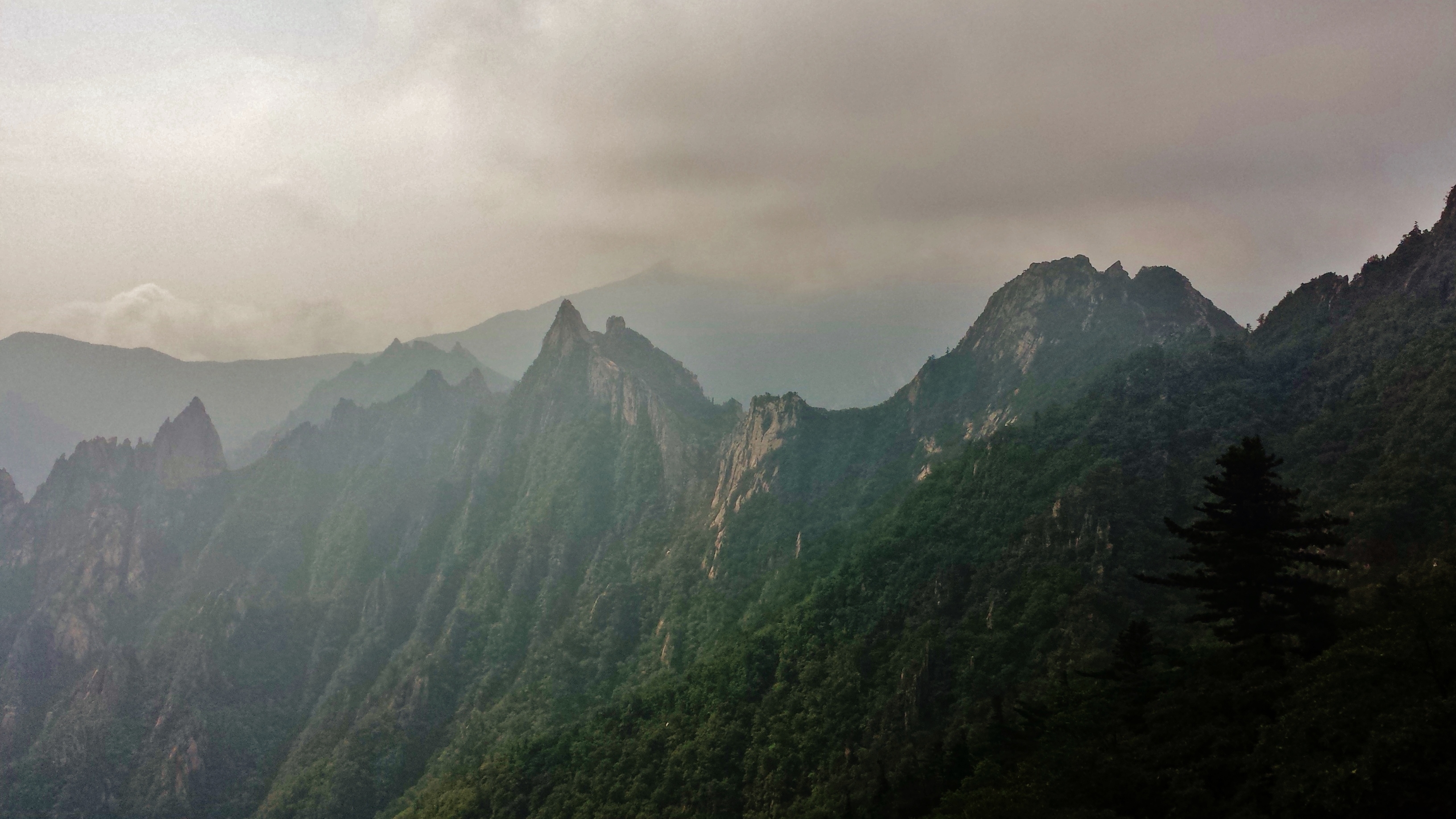
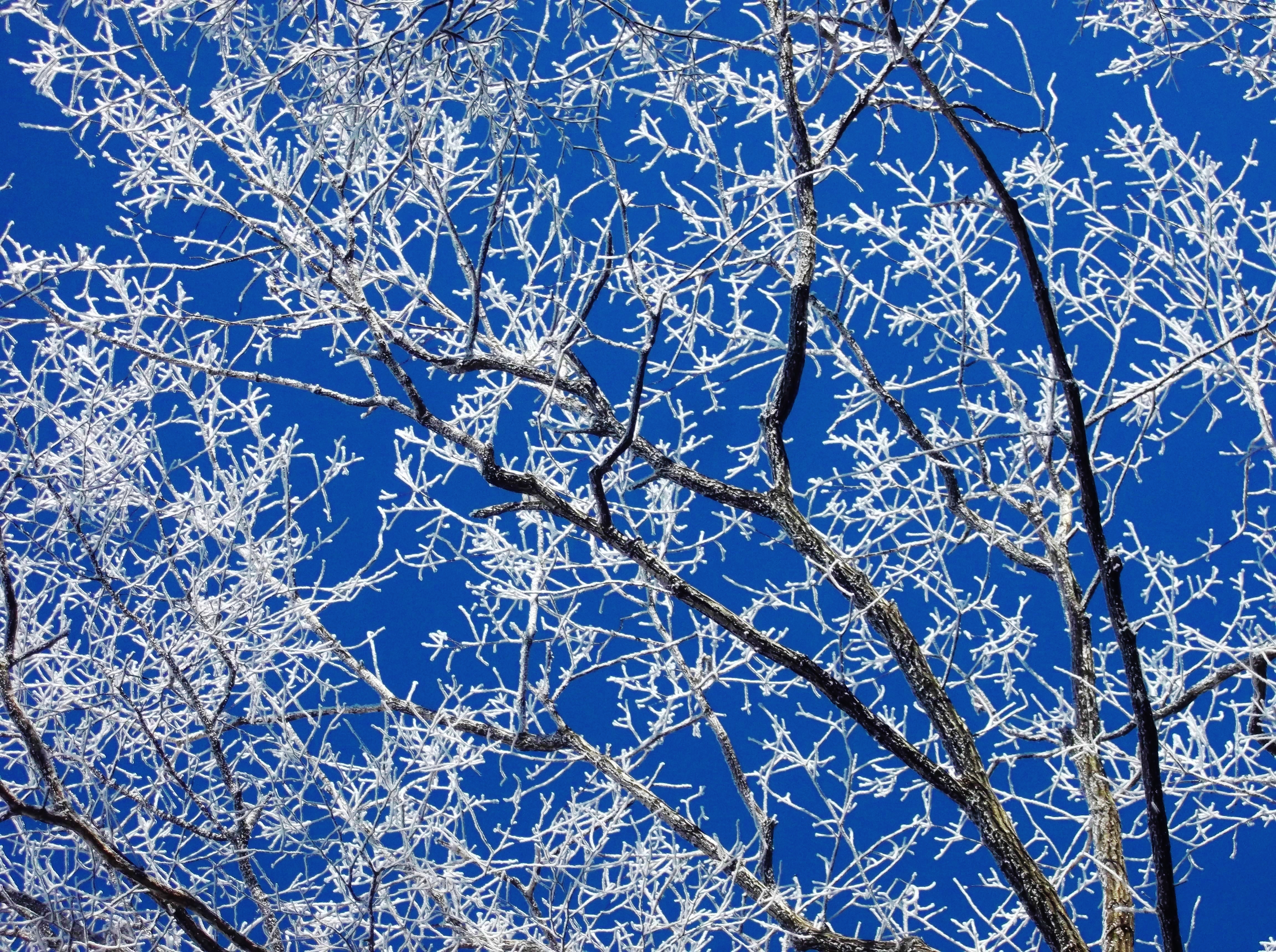
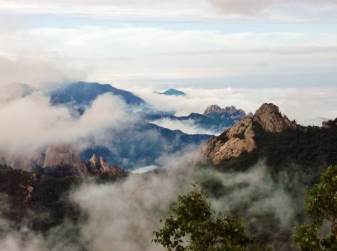
And I was left with this:

The most beautiful place in the country? I think so!


With the breaking of the clouds, I made it back to the shelter at 6:59, to the applause of everyone who had eaten my pizza earlier. Hey, what can I say? An audience is cheap when you’re out in the mountains of Korea.


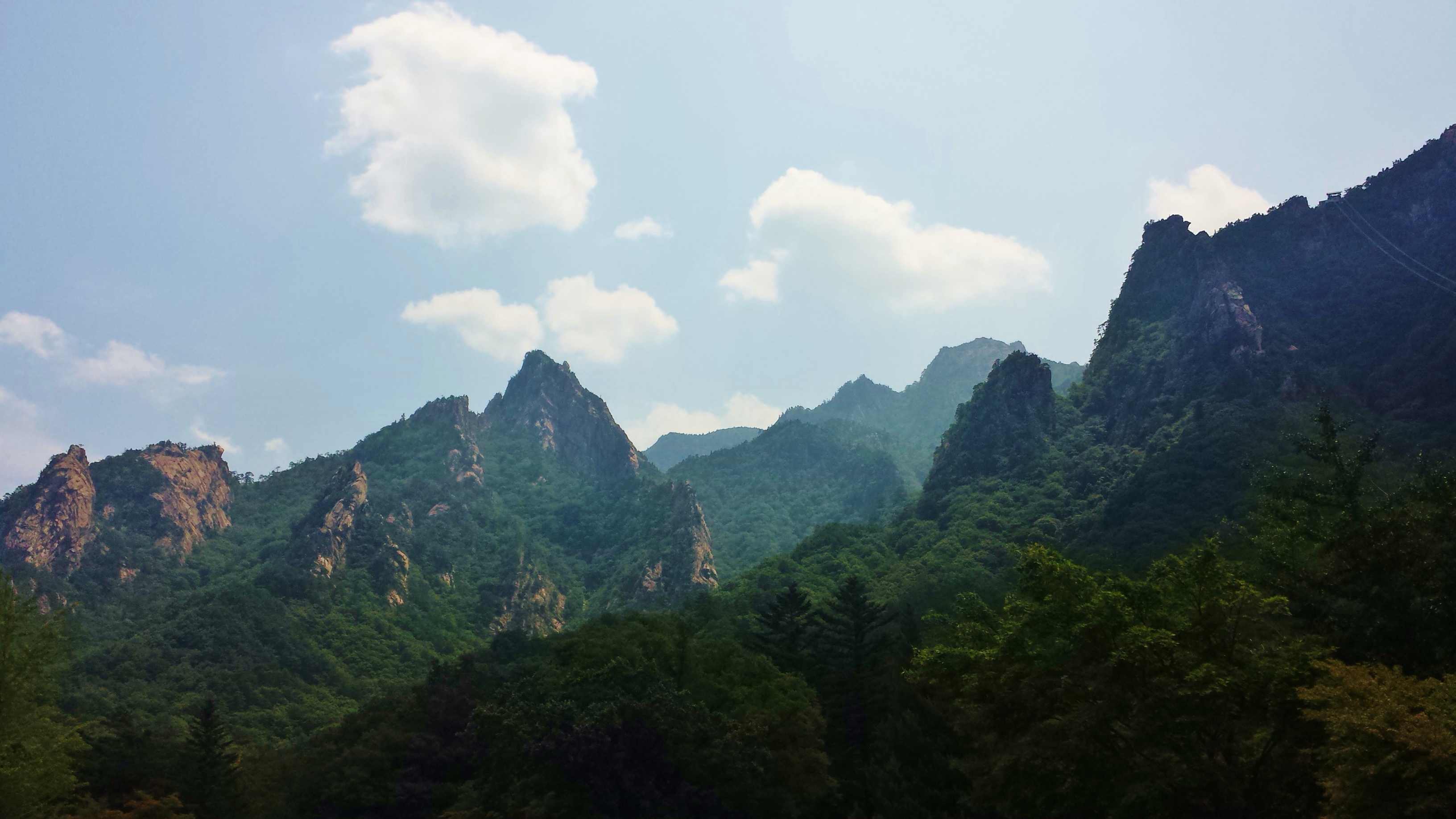
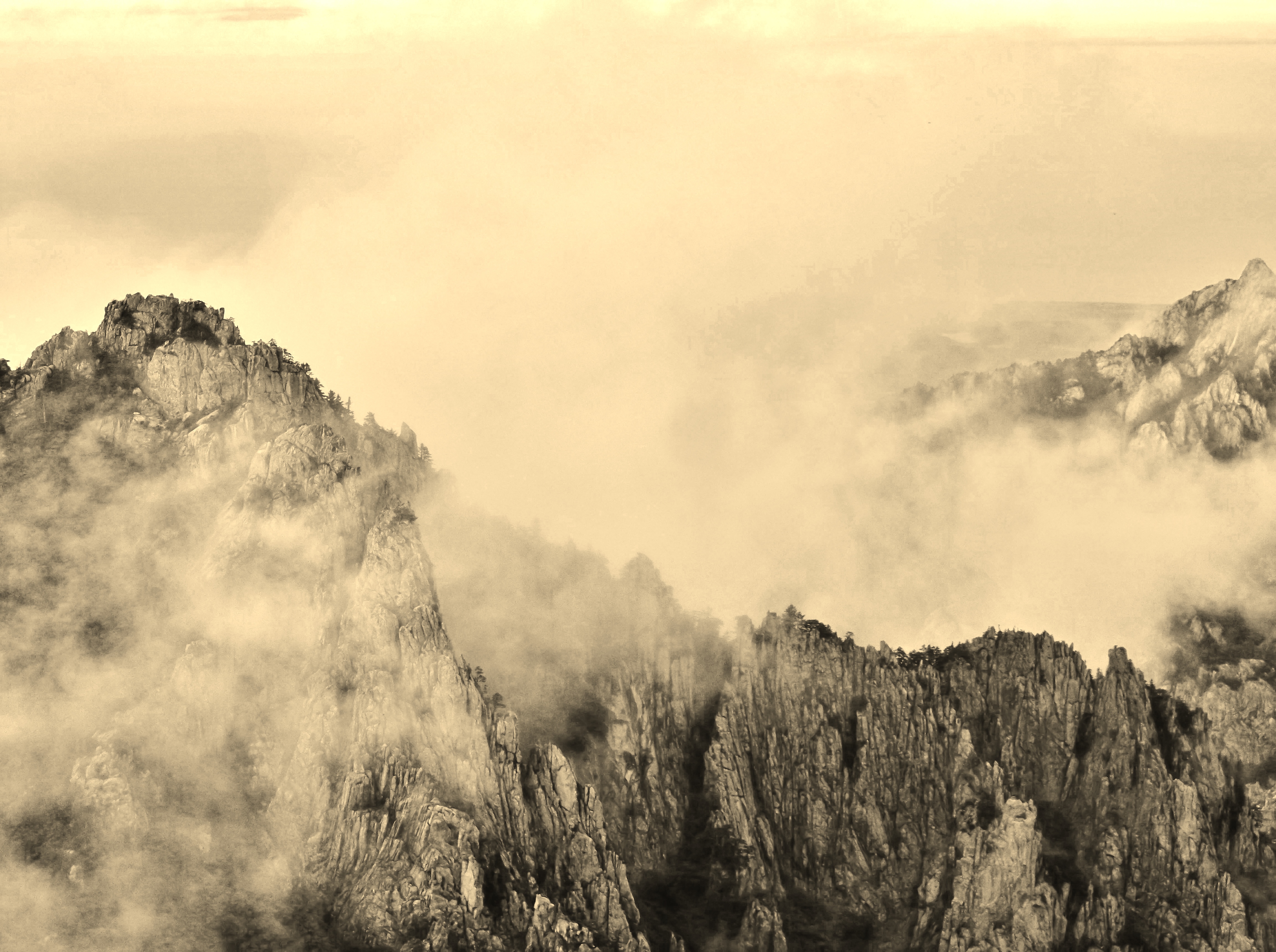
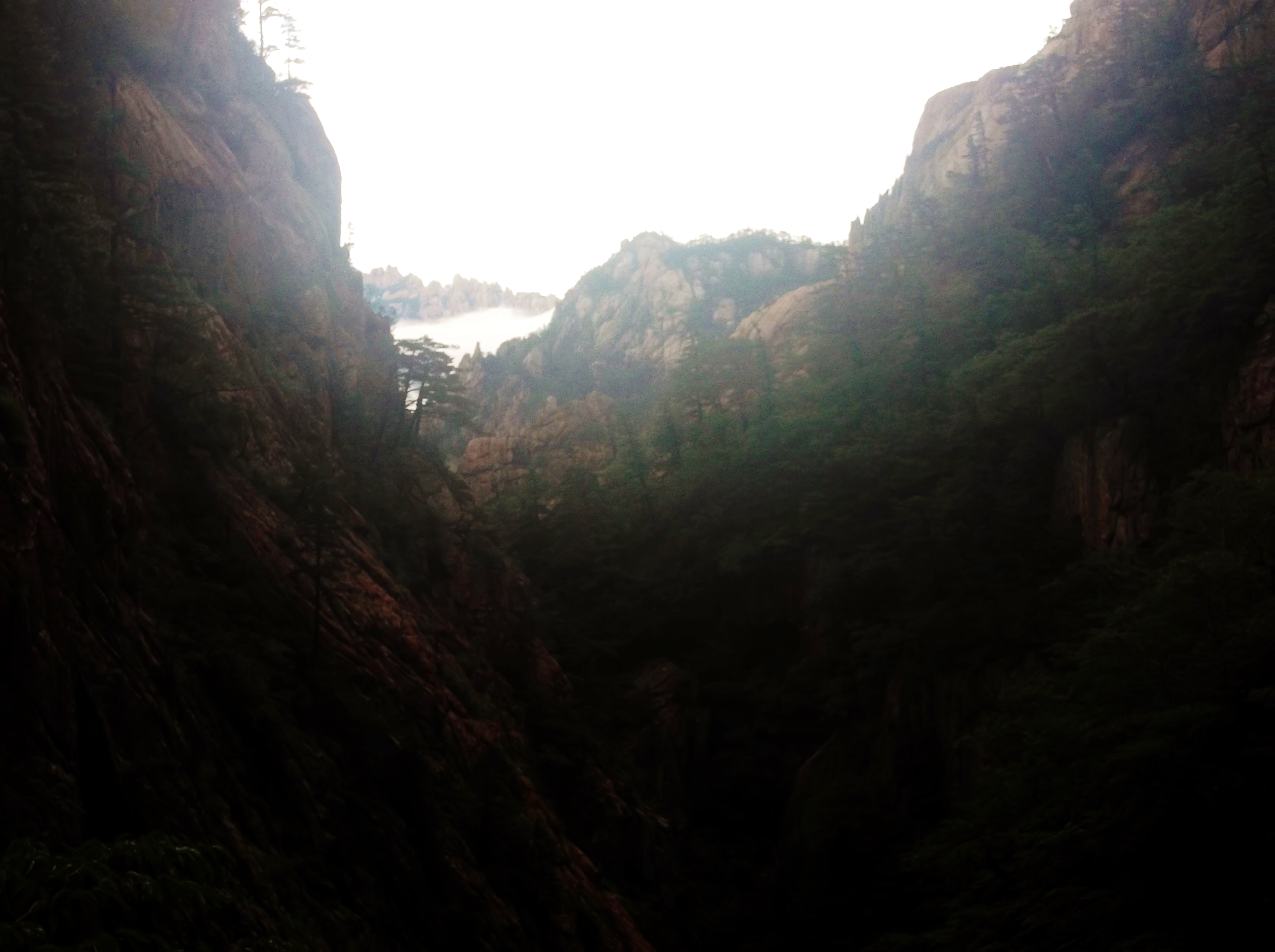
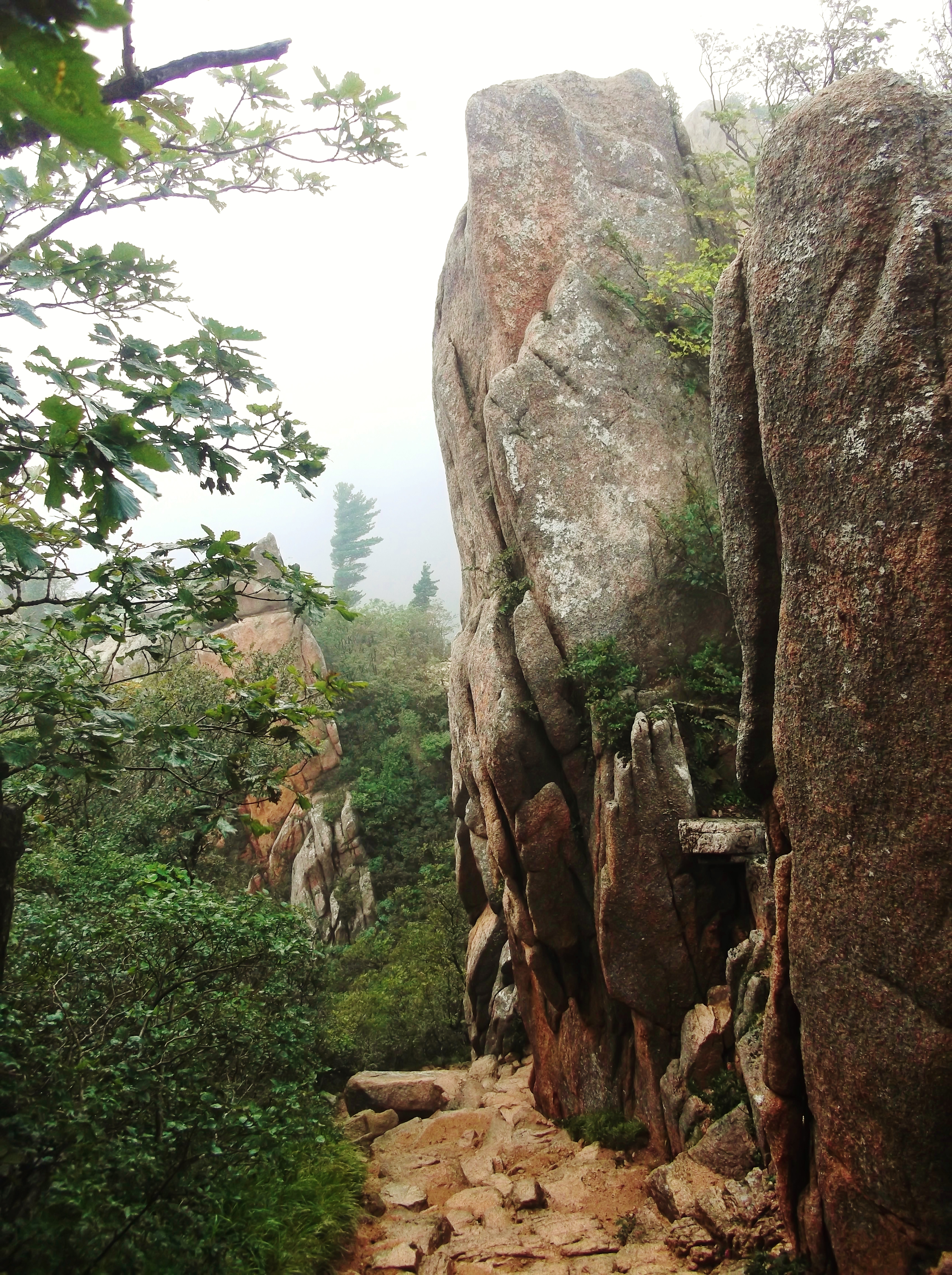
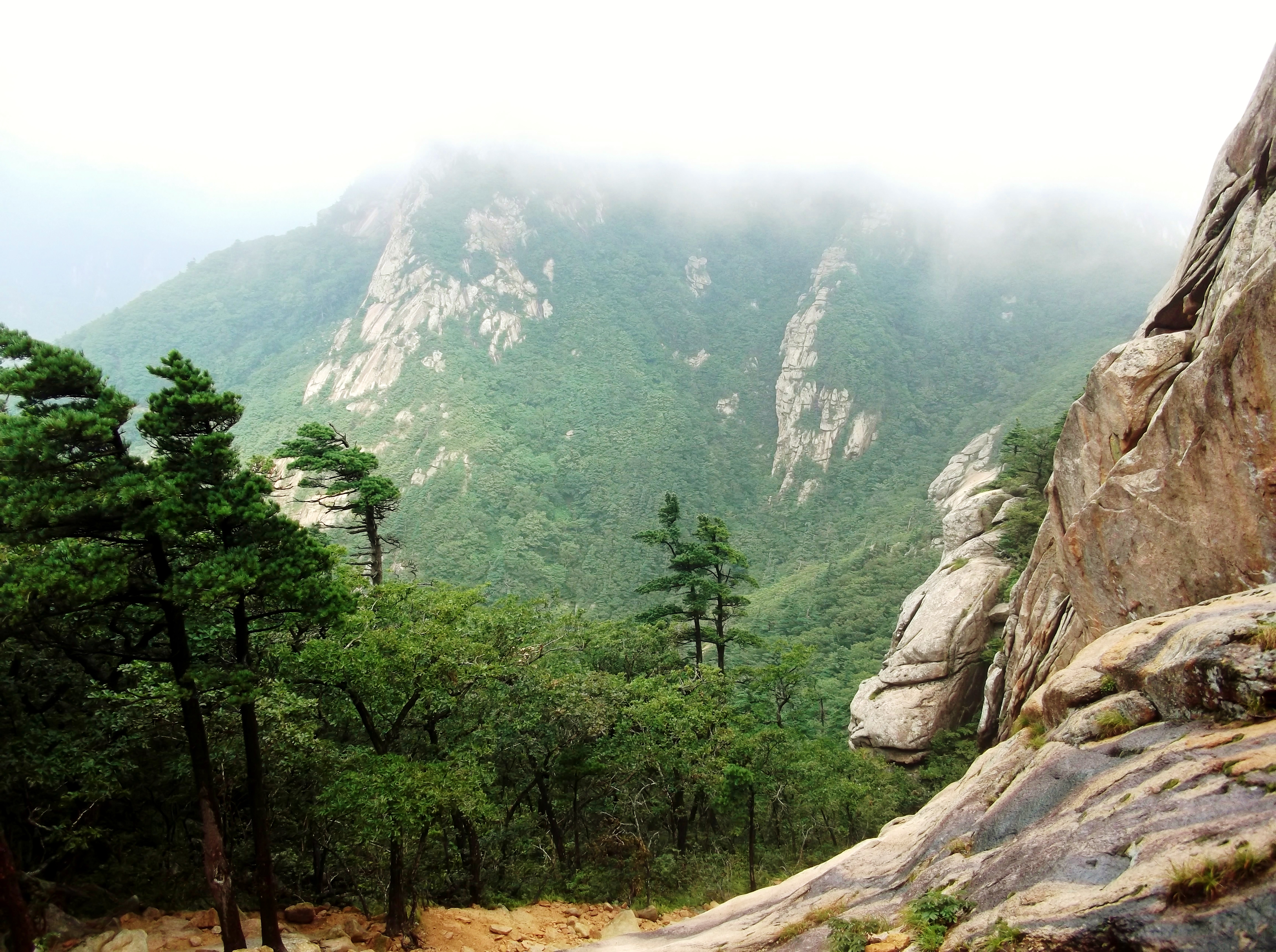
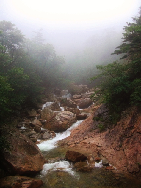
The following day came with another 5:00 start, filling my bottles in the stream and heading up the same path for a juncture a mile away. That junction was the start of Dinosaur Ridge (공룡능선), named for its resemblance to the plates on the back of a stegosaurus. Later on I captured some nice shots of it from the side, but first we must wind our way through the maze of the ridge itself, dear reader.


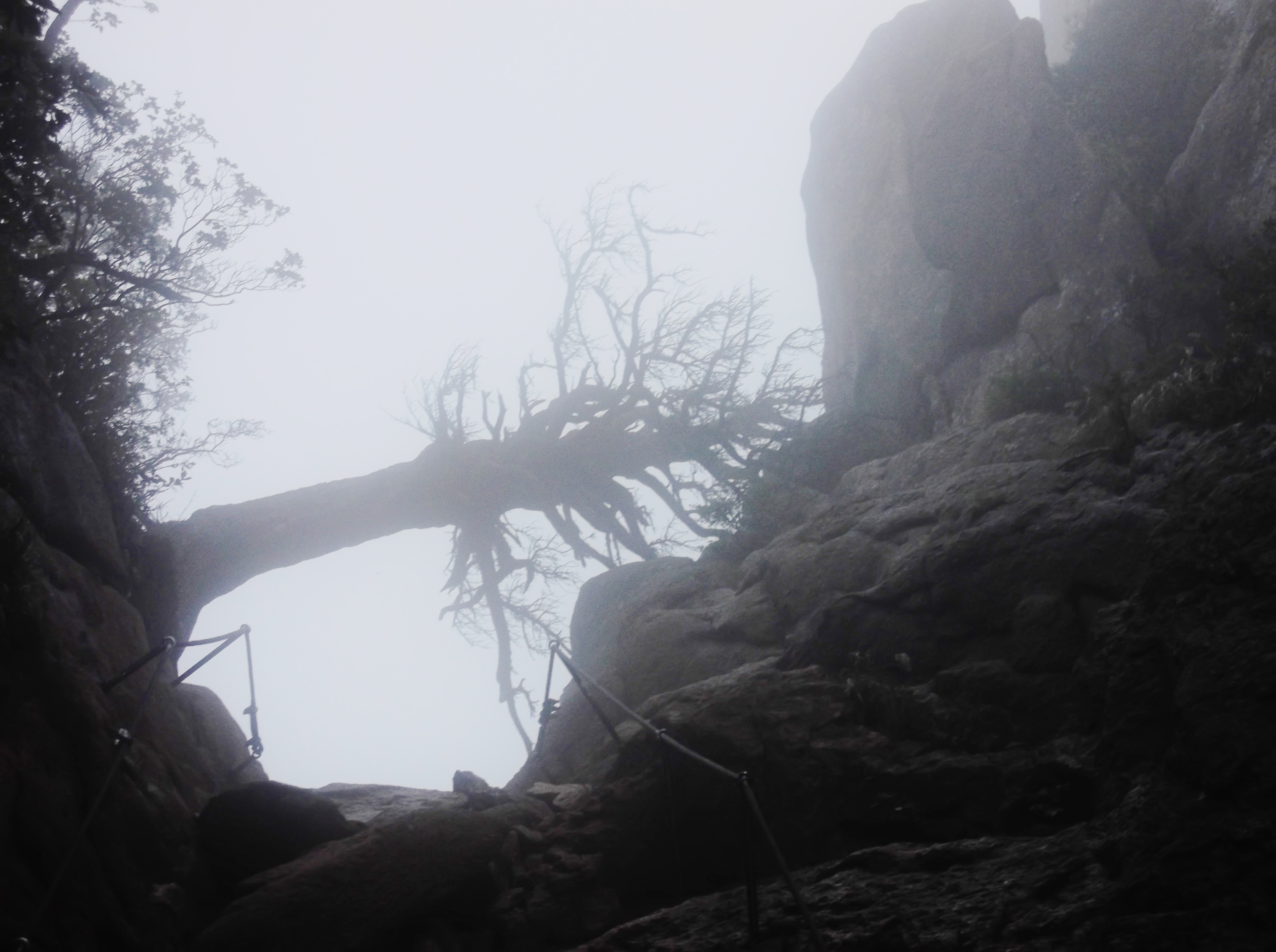
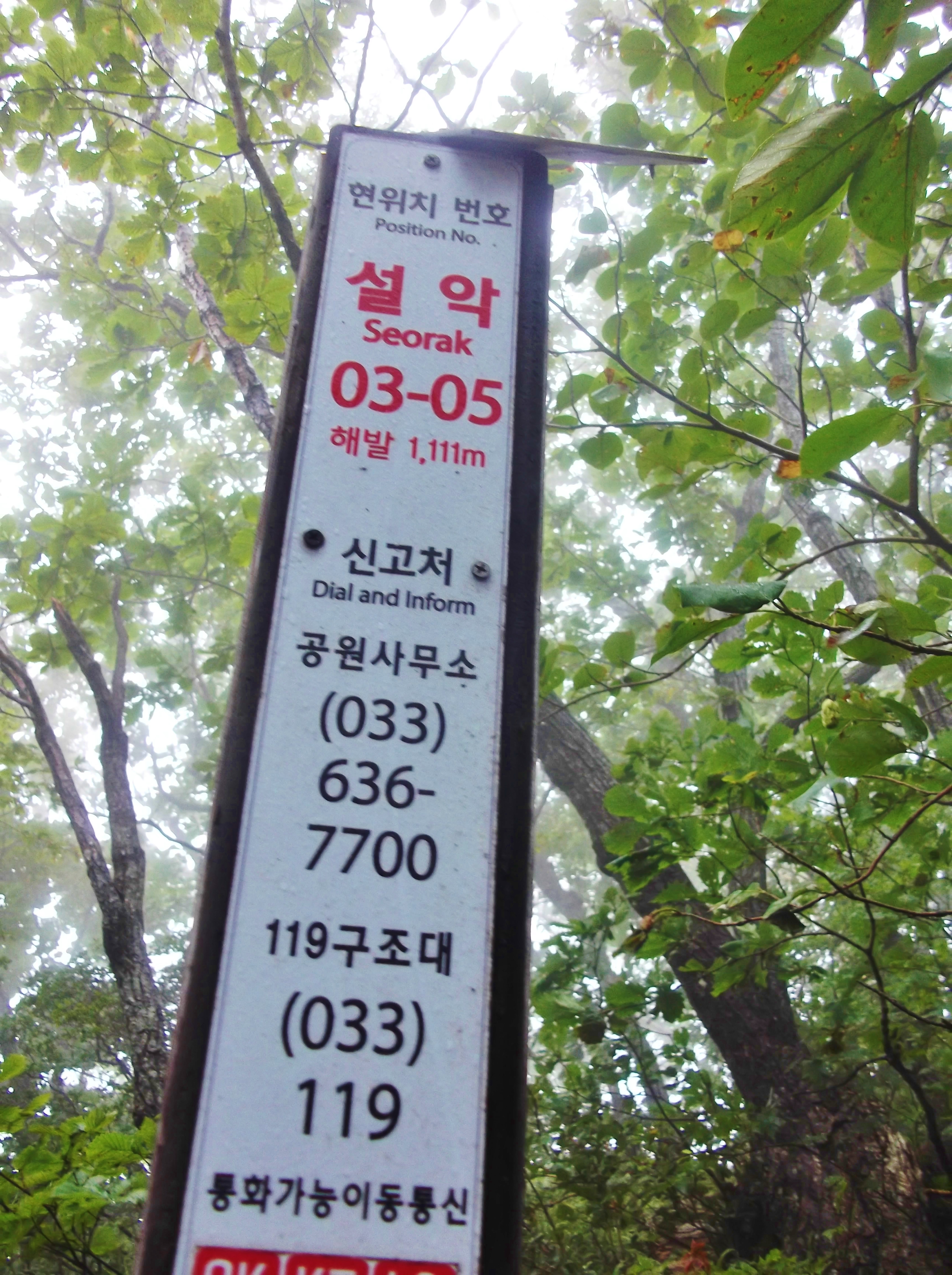
1111 meters? A good place to pause. The ridge is a 4.4 kilometer mix of flat, level hiking with scrambles that turn treacherous in the mix of rain and clouds that keep the place from drying out. Even the winds here are strong enough to keep the trees from branching in any but one direction.
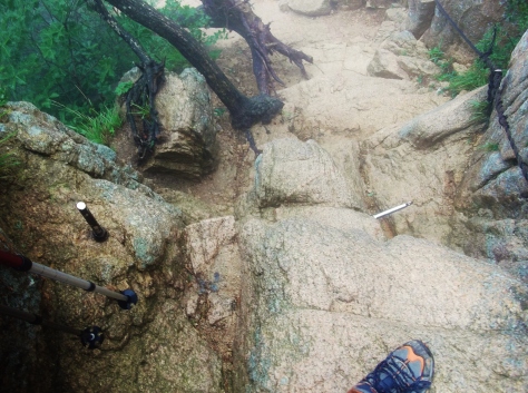
Is it easy? Well, maybe when dry. But when wet, with my twenty-five pound pack, I was sure thankful for these quasi-ferrata features drilled into the scrambliest places.
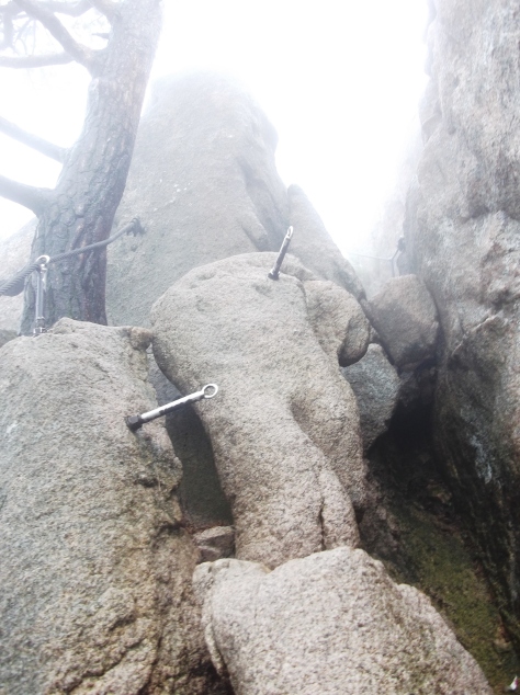
 I seriously considered hanging out at the above spot, just in case I might get to watch an ajumma attempt this twenty-foot scramble here.


Eventually, the maze subsided. Emerging from Dino Ridge, I turned onto a path that I’d taken back in September with a friend, when we’d been done in by hordes of oncoming ajummas who were obsessed with my friend’s “apple face.” This time, on a Tuesday, I encountered only a few people, including a couple who gave me two sticks of what can only be described as “fish cheese.” I have nothing further to say on that topic, for no happy ending can come of a story about fish cheese.
At any rate, dear reader, please judge for yourself whether or not the ridge was accurately named. I, for one, have never met a stegosaurus, so I can’t really say. But I did enjoy the hike~


And with that, I bid you adieu, mountains of Korea.